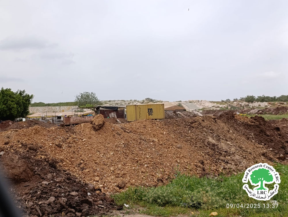
Settlers Ravaged 4 Dunams to Construct a Colonial Road on The Lands of Safa Village/ Ramallah Governorate
Violation: Ravaging agricultural lands to construct a colonial road and vandalizing metal siege.
Location: Safa village located west of Ramallah.
Date: April,6th 2025.
Perpetrators: Settlers.
Affected party: Farmer Taleb Atallah Salameh Al Dagameen and his family.
Details:
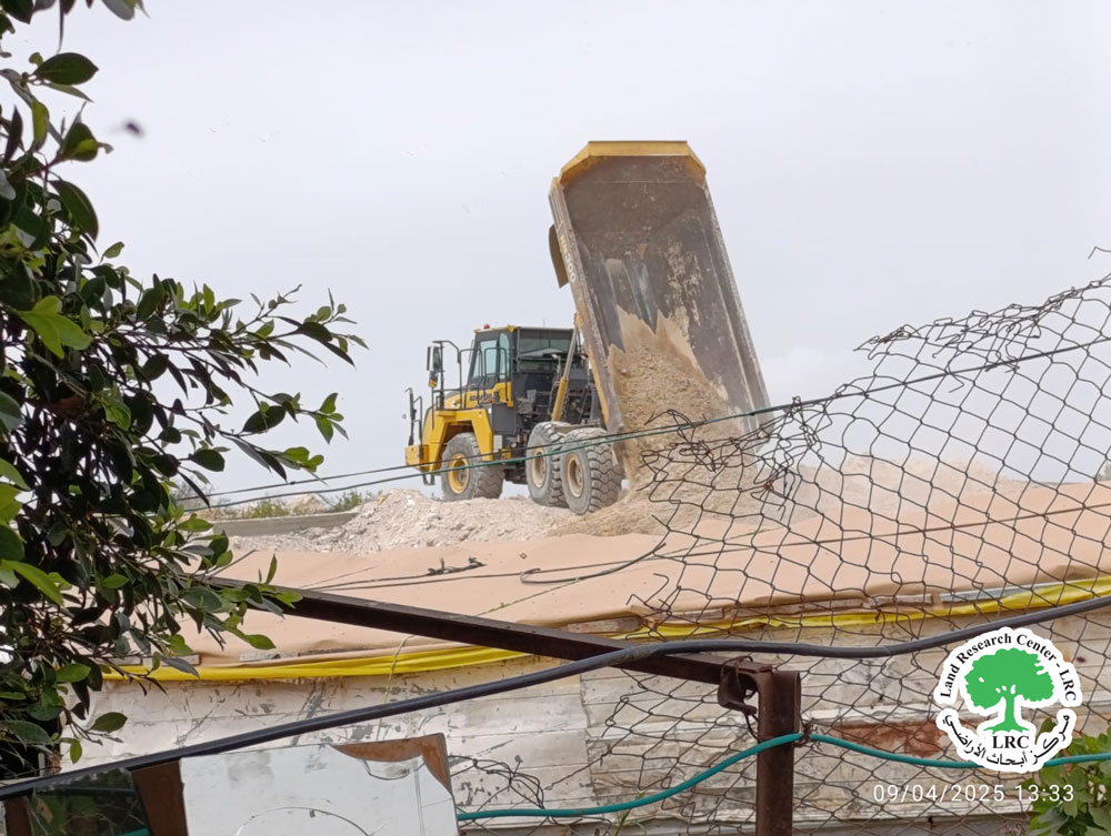
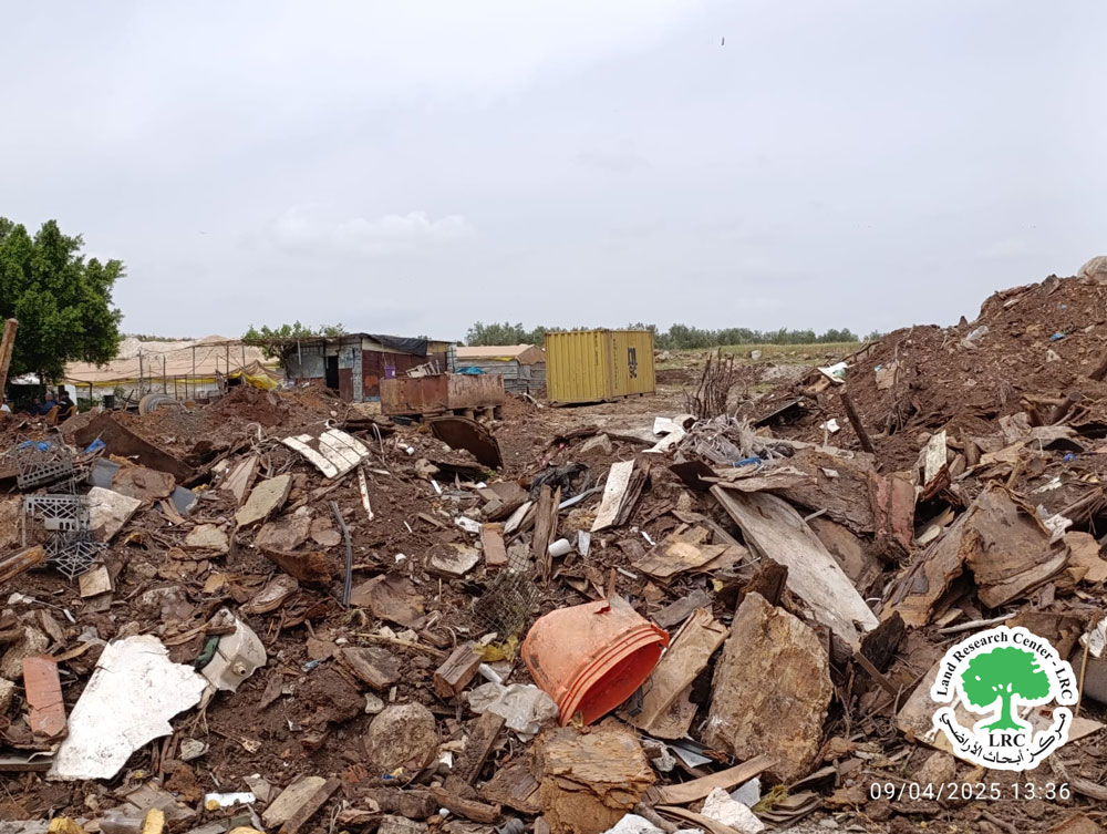
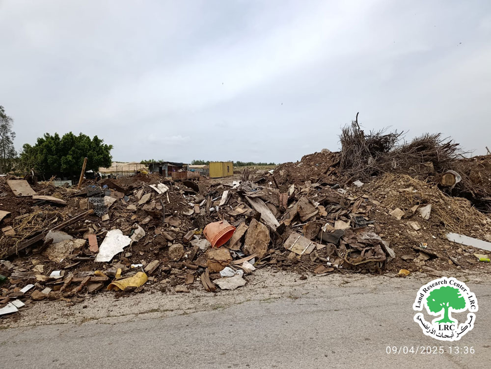
On Sunday, April,6th 2025, ‘Al Moroj’ area located west of Safa village west Ramallah, a group of settlers carried out to construct a road in the same time of ravaging a plot of piece near Israeli industrial area that happens on the lands of Beit Sira and Safa villages west Ramallah, as 4 dunams of lands were ravaged and located next to the gathering for Al Gaghameen family as they depend on livestock in their source of income.
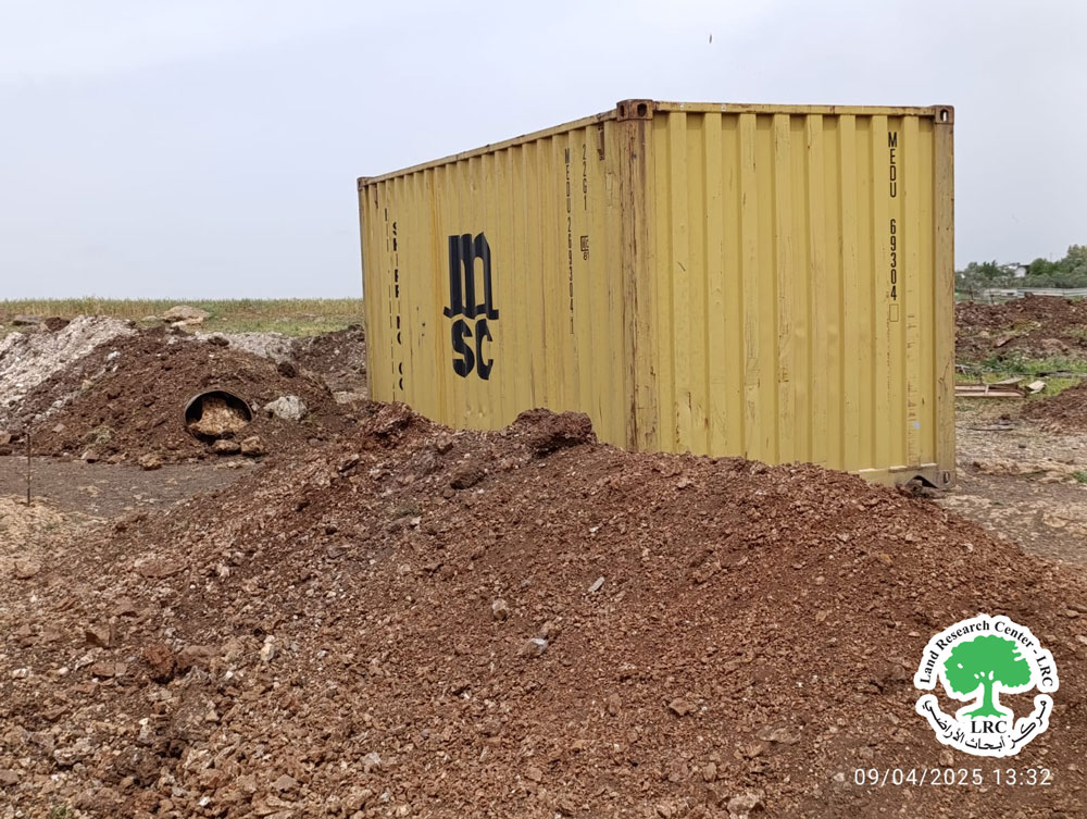
It is reported that the settlers in order to complete the ravaging works for opening the road, brought heavy machinery to work in addition to dumb truck that brought in soil and dumbed it along the road they were constructing to connect the seized lands with industrial area, while working, the settlers approached from one of houses in Bedouin community, noted that the community includes 5 residential shacks and five sheep pens, one of the settlers attempted to drive his car towards the home to demolish it and extend it over its ruins. However, the residents stopped in front of him and managed to prevent the demolition. During this incident, the settlers uprooted and damaging metal fence surrounding sheep pen in the community, as the length of metal estimated 30 meters.
The affected Bedouin resident, Taleb Ata Al Dagahmeen told:
‘’We were shocked from settlers’ attack to put metal shack in the land that he claims ut belongs to him, just a few meters from homes and pens of community, in addition to ravaging works and put soil in four parts in the land, as we preventing him from the demolition of residential and agricultural structure, so the settlers threatened us that he will bring the army with him to demolish their homes.’’
It’s worth mentioning that according to direct field research in June,2023, witnessed the beginning of bulldozers belonging to Israeli companies working on the establishment of an industrial area in the areas of Baten Hassan and Kallet Khalef, located southwest of the village of Safa. The ravaging aim is to establish a settlement industrial area published by the company that was awarded the contract to implement the project. Now work is being carried out on an area of 360 dunams from the lands in the area. Noted that 360 dunams it’s a part of about 1000 dunam that confiscated 1980s, during which the occupation authorities claimed as these lands classified as’’ State land’’.
In the same time of the establishment of the industrial area, the Israeli Civil Administration carried out several attacks including: demolition structures and homes, which belong to Palestinian residents on the pretext of building without a license including demolition a house belongs to citizen Taleb Atallah Salameh Daghameen. In August, 22th 2024, noted that citizen Daghameen lives in this land in pastoral Palestinian community with his wife and children, about 20 members over 10 years.
About Safa Village:
Safa village is located to the northwest of Ramallah, 18 kilometers away. The total area of the village is 11,000 dunams, of which 3,000 dunams are subject to colonial activities and isolated behind the separation wall. The area of the town's zoning plan is 794 dunams.
According to the 2017 census, the population of the village is 4,350 people, 14% of whom are refugees, with the remaining population distributed across two main families: Karajah and Falma.
1-Below are the names of the Israeli settlements and the areas of land they have seized from the village:
Colony name |
Establishment year |
The area |
Settlers number |
The area of the settlement |
Kafar Rot |
1977 |
1249 |
N/A |
1249 |
Makabeem |
1982 |
304 |
N/A |
1758 |
Kiryat Safar |
1991 |
11 |
74615 |
3914 |
Hashmon’em |
1985 |
6 |
3270 |
1075 |
Shalta |
1977 |
970 |
N/A |
983 |
Kfar Ha’oranem – Mnaoura |
1998 |
810 |
2508 |
810 |
Labed |
1996 |
438 |
N/A |
438 |
Industrial area |
1982 |
186 |
N/A |
287 |
2- The bypasses road have confiscated approximately (425) dunams for the benefit of roads (446/443). These lands are located behind the wall (in the isolated area between the wall and the green line).
3- The Annexation and expansion wall: concrete wall and fence) with 434 length and bulldoze about 435 dunams and isolated 8086 dunams (where the settlements and bypass roads are located).
Land classification according to the Oslo Agreement for the village:
- Areas classified as "B": 1,762 dunums.
- Areas classified as "C": 12,486 dunums.
مشروع: حماية الحقوق البيئية الفلسطينية في مناطق "ج" SPERAC IV - GFFO
Disclaimer: The views and opinions expressed in this report are those of Land Research Center and do not necessarily reflect the views or positions of the project donor; the Norwegian Refugee Council.
إخلاء المسؤولية: الآراء ووجهات النظر الواردة في هذا التقرير هي آراء ووجهات نظر مركز أبحاث الأراضي ولا تعكس بالضرورة وجهات نظر أو مواقف الجهة المانحة للمشروع؛ المجلس النرويجي. للاجئين
